


BIG NEWS
- NCERT granted deemed-to-be university status, empowered to award its own degrees
- Haridwar plans shift of meat shops outside city ahead of Ardh Kumbh 2027
- No sign of war winding down in West Asia as Friday dawns with attacks across region
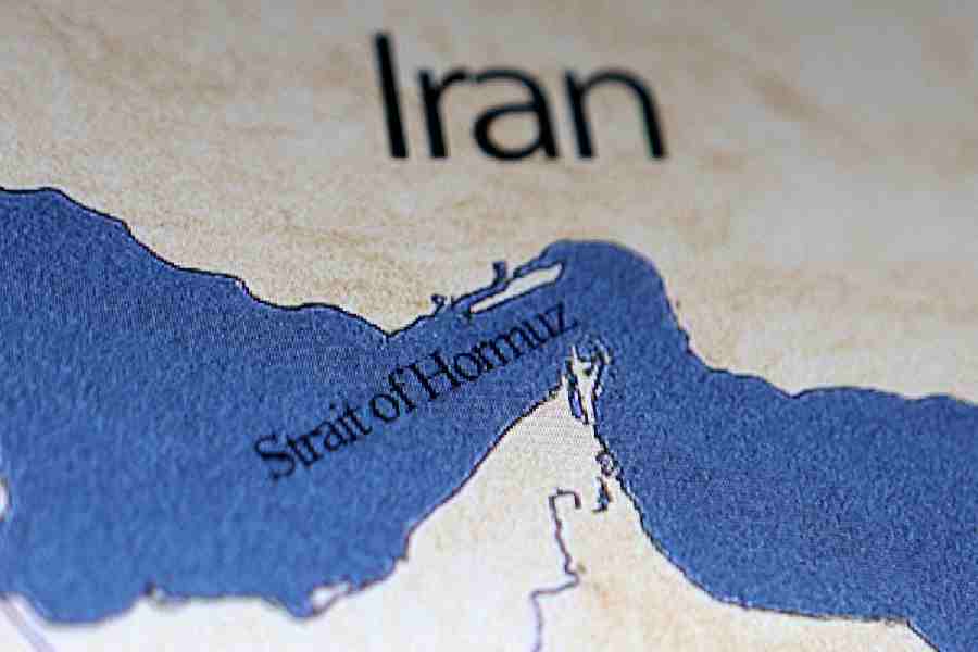
- Iran, Oman draft proposal to ‘monitor’ Strait of Hormuz amid shipping tensions
- ED raids I-PAC executives, others in West Bengal coal 'scam' case
- AAP drops Raghav Chadha as Rajya Sabha deputy leader, names Ashok Kumar Mittal
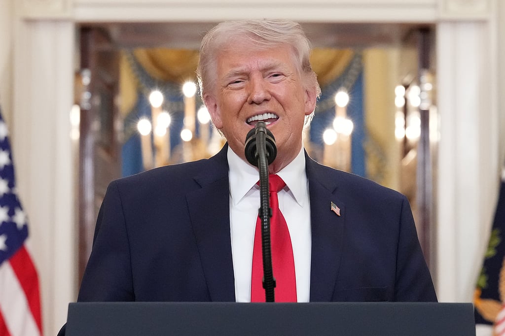
- Trump says Iran war nearing end, warns of ‘extremely hard’ strikes on Tehran for 2–3 weeks
- SIR in West Bengal: 47 lakh objections resolved; SC sets April 7 deadline for completion
- US journalist kidnapped in Baghdad; search underway
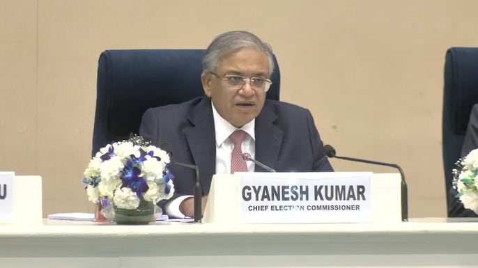
- Vir Vikram Yadav appointed new DGCA chief
Bhu-Aadhaar to assign unique 14-digit identifier to every land parcel in Delhi; end boundary disputes: CMO

Public Lokpal
February 15, 2026
Bhu-Aadhaar to assign unique 14-digit identifier to every land parcel in Delhi; end boundary disputes: CMO
NEW DELHI: The Delhi government has launched an initiative to issue a 'Bhu-Aadhaar' card, according a unique 14-digit identification number to each land parcel in the city, in a move aimed at ending land boundary related disputes, Chief Minister Rekha Gupta said on Sunday.
A new digital land map of Delhi will be prepared using drone survey and high-resolution imaging, she said, asserting that the Bhu-Aadhaar is a "revolutionary step" towards realising Prime Minister's vision of 'Digital India'.
The Unique Land Parcel Identification Number (ULPIN), dubbed Bhu-Aadhaar, was launched as part of the Centre's Digital India Land Records Modernisation Programme (DILRMP) in 2021.
This step is part of the government’s push to modernise Delhi’s land records, freeing citizens from long-standing land disputes, the Delhi CMO said in a statement.
The implementation of ULPIN has been entrusted to the IT branch of the revenue department, which will also be supported by the Survey of India.
Approximately 2 TB (terabyte) of high-quality geospatial data and drone-based Ortho Rectified Images (ORI) are being obtained from the Survey of India for generating accurate ULPINs for all areas of Delhi, including 48 villages already covered under the SVAMITVA scheme, the statement said.
Earlier, Rs 1.32 crore had been allocated for the project, with financial management overseen by the IT branch. The government will now expand the system across Delhi in a phased manner under a standard operating procedure with defined timelines, it said.
A pilot project has already been completed in Tilangpur Kotla village in West Delhi district, where 274 ULPIN records have been successfully generated.
The Bhu-Aadhaar system will ensure complete transparency in land ownership. The 14-digit code will be geo-referenced, thereby minimising disputes over land boundaries, the CMO said.
It will facilitate coordination of land data among various government departments and effectively curb fraudulent transactions and multiple registrations, it said For citizens, the move is expected bring ease and convenience. Instead of navigating multiple documents to establish land ownership, a single number will provide comprehensive details of the property, the statement added.
PTI